The Geology of Hong Kong
From the earliest days of the colony’s existence geological investigation has been carried out, the first article dealing with the geology of the colony being published in 1862, twenty one years after the colony was founded. The first geological map of the colony (1:84,480) was produced in 1936 following the work of four Canadian geologists. Professor S C Davis of Hong Kong University produced a book “The Geology of Hong Kong” in 1953 and published a number of papers on the mineral deposits. A geological survey of Hong Kong was carried out by P M Allen and E A Stephens of the Overseas Division of the Institute of Geological Sciences, London between 1967 and 1969 and a report and geological map (1:50,000) produced. This is the map currently in use. The following account of the geology of the colony is based on the Allen and Stephens report and a good personal acquaintance with the geology of and geologists in Hong Kong.
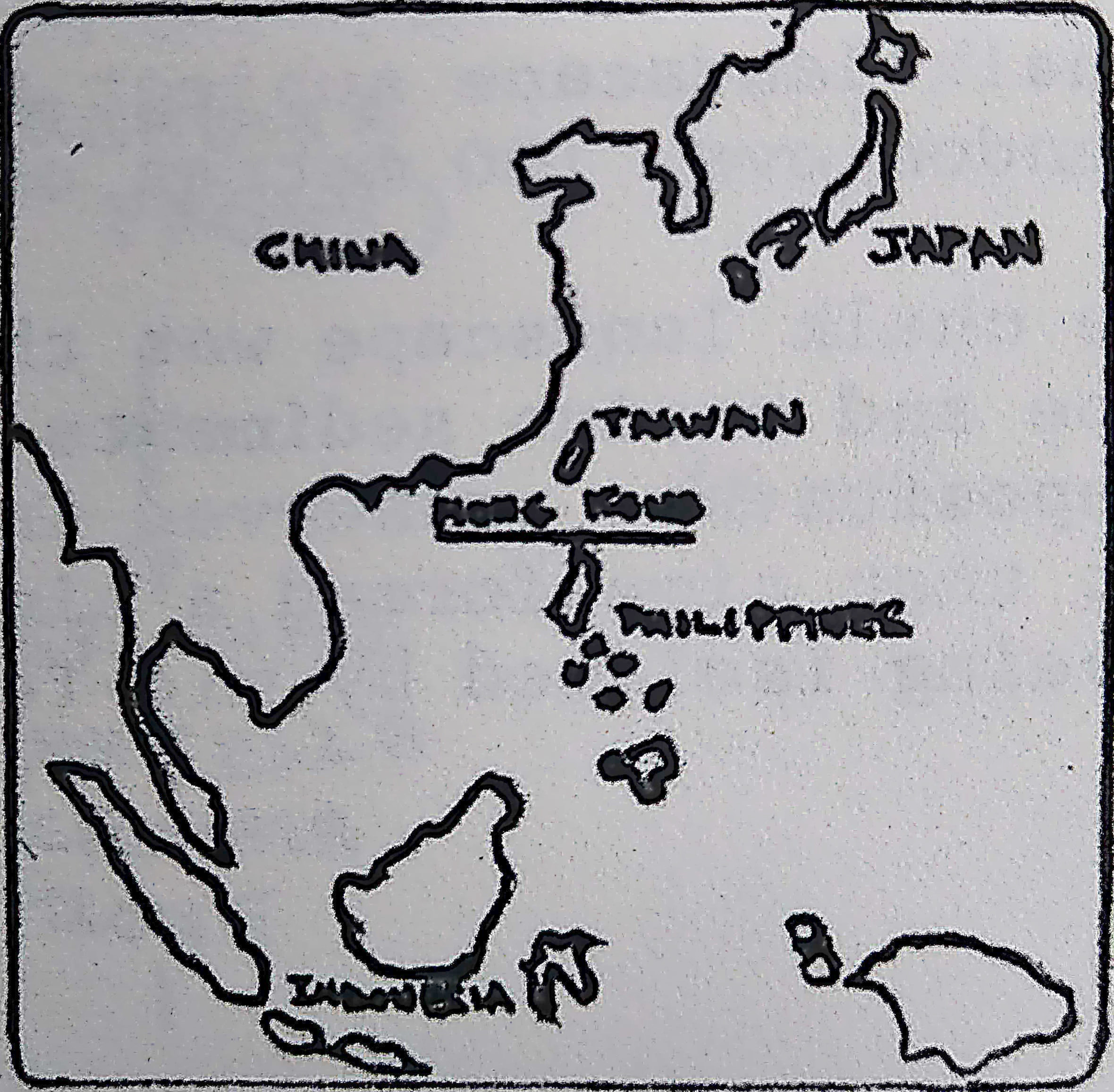
Hong Kong is a rugged terrain of islands and mountains (some exceeding 3,000 ft) and the coastline is cut by many inlets. Only a small proportion (10%) of the land is available for building and large areas around the coast have been and are being reclaimed. It is probable that Hong Kong is part of a drowned mountain range and it has been suggested that it may have been submerged comparatively recently because the mountains rise very sharply from the sea with little coastal plain.
The oldest rocks exposed are the Permian marine sediments of the Tolo Harbour Formation, though the discovery recently of fossil fish in this formation suggests that at least some of the formation could be of Devonian age. These rocks have been strongly folded.
There are no rocks attributed to the Triassic Period exposed in the colony and a thick Jurassic succession of sedimentary and volcanic rocks rest unconformably on the Permian rocks.
The oldest Jurassic rocks are the marine sediments of the Tolo Channel Formation, consisting largely of black and grey shales and sandstones. Ammonites found in this formation date it as Lower Jurassic. It is succeeded by the Bluff Head Formation a sequence of classic rocks mostly deposited in a deltaic environment.
The deposition of these sediments was followed by a major volcanic episode in which the rocks of the Repulse Bay Formation were deposited. The Repulse Bay Formation is thought to be at least 1,500m thick and consists mainly of a succession of tuffs, agglomerates, ignimbrites and mainly acid lavas deposited sub-aerially with a number of intercalated units of sedimentary rocks. Rocks of the Repulse Bay Formation are the most widely exposed rocks in the colony and form most of the high ground. This formation is considered to be of Middle Jurassic age and its deposition was followed by a period of earth movements that gave rise to folding and some regional metamorphism.
At the end of the Jurassic there were a number of phases (4) of mainly acid rock (granite, granodiorite, quartz monzonite) and these are the second most widely exposed rocks.
The Lower Cretaceous is represented by the Port Island Formation of red conglomerates, sandstones and shales and the deposition of this formation was followed by a period of earth movement that caused folding and cleavage in it. This period of earth movements was followed at the end of the Cretaceous by the intrusion of dolerites and this continued into the Tertiary.
The youngest rocks are those of the Kato Formation in the north east of the colony. These are breccias and may be only a little older than some of the superficial deposits.
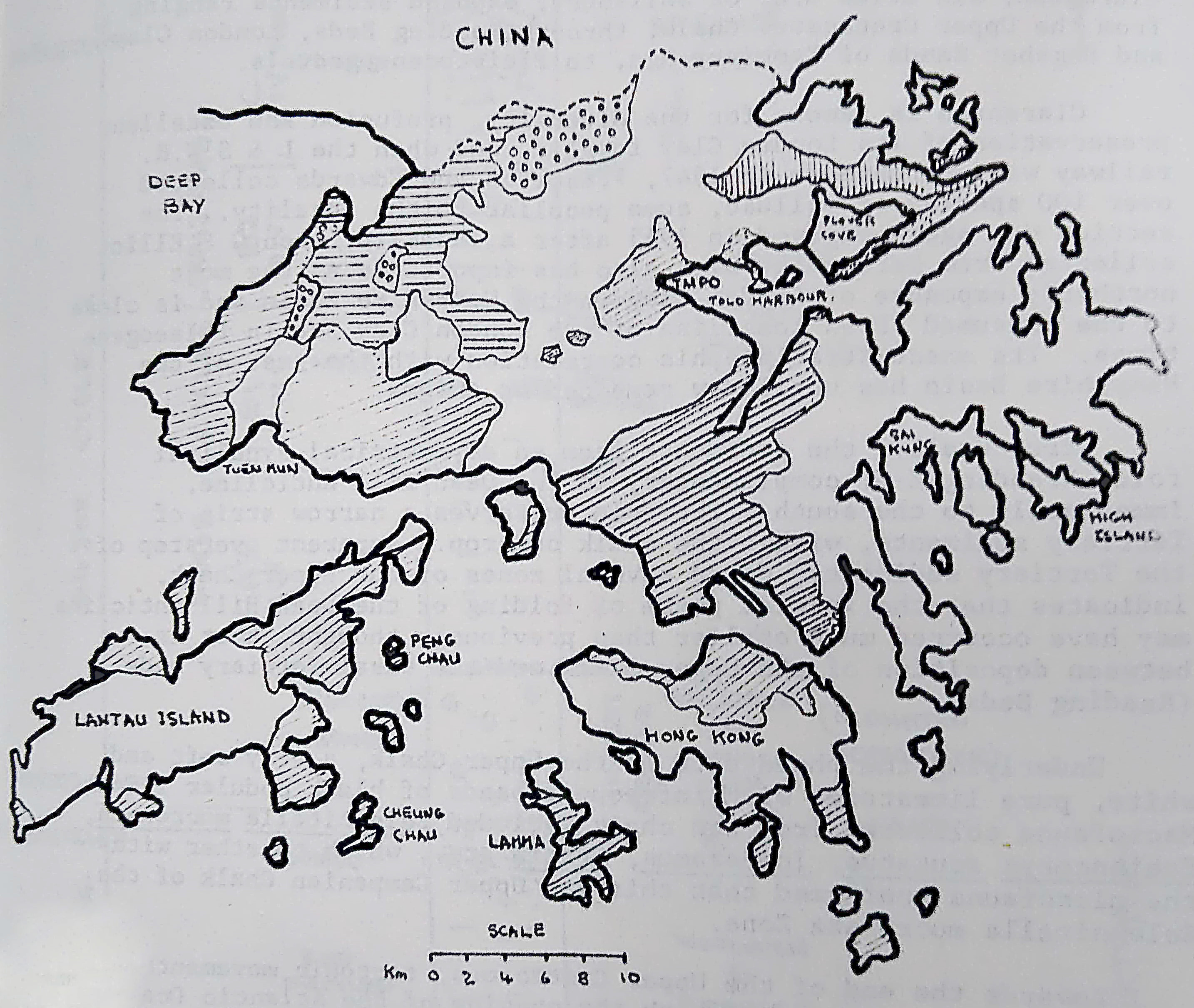
Sketch Map of Hong Kong